
Where this stands today. This is an idea at the concept and planning stage. No route has been assessed yet, no outing has run, and nothing is bookable. We are publishing it so that people who would actually use the service can tell us what it needs to be.
What we are proposing
Northern Trails Together would run small-group guided outings in Northern Ontario, co-designed with people with disabilities and an access adviser rather than designed for them.
Before anyone books, we would assess one route properly and publish what we find: surface, width, slopes, steps, rest points, washrooms and how you get there. Guests could talk to us about what they need before committing. On the day, pacing and rest breaks would be agreed in advance, with a shorter return option where the route allows.
We would start with two trial outings and learn from them before going further.
The barrier we are trying to remove
Most trail listings give you a difficulty rating and little else. A rating cannot tell you whether the surface is loose gravel or packed earth, whether there are steps, how far apart the rest points are, or whether there is a washroom at the trailhead.
For a lot of people that gap is the whole problem. Not the trail itself, but having no way to judge the trail from a distance, no way to ask about support without an awkward conversation, and no confidence that a fixed group pace will work for them. That uncertainty is what stops the trip being planned at all.
How an outing would work
- Before booking. Photographs and plain-language access facts for the route, so you can decide for yourself whether it suits you.
- A conversation, not a form. Talk to us about what you need. We will say plainly what we can and cannot provide on that route.
- An agreed pace. Pacing and rest breaks settled before the day, not negotiated on the trail.
- A clear itinerary. Including where the shorter return option begins, if the route has one.
- Honest limits. We would only offer accommodations we can actually deliver on the route in question.
- Feedback that changes things. What guests tell us shapes the next outing, and we would publish what we changed.
Where the idea came from
A group of us in Sudbury hike most weekends, around Manitoulin, Temiskaming Shores and Elliot Lake. The idea came out of noticing how much of what we take for granted on those trips is simply unavailable to someone who needs to know the details in advance.
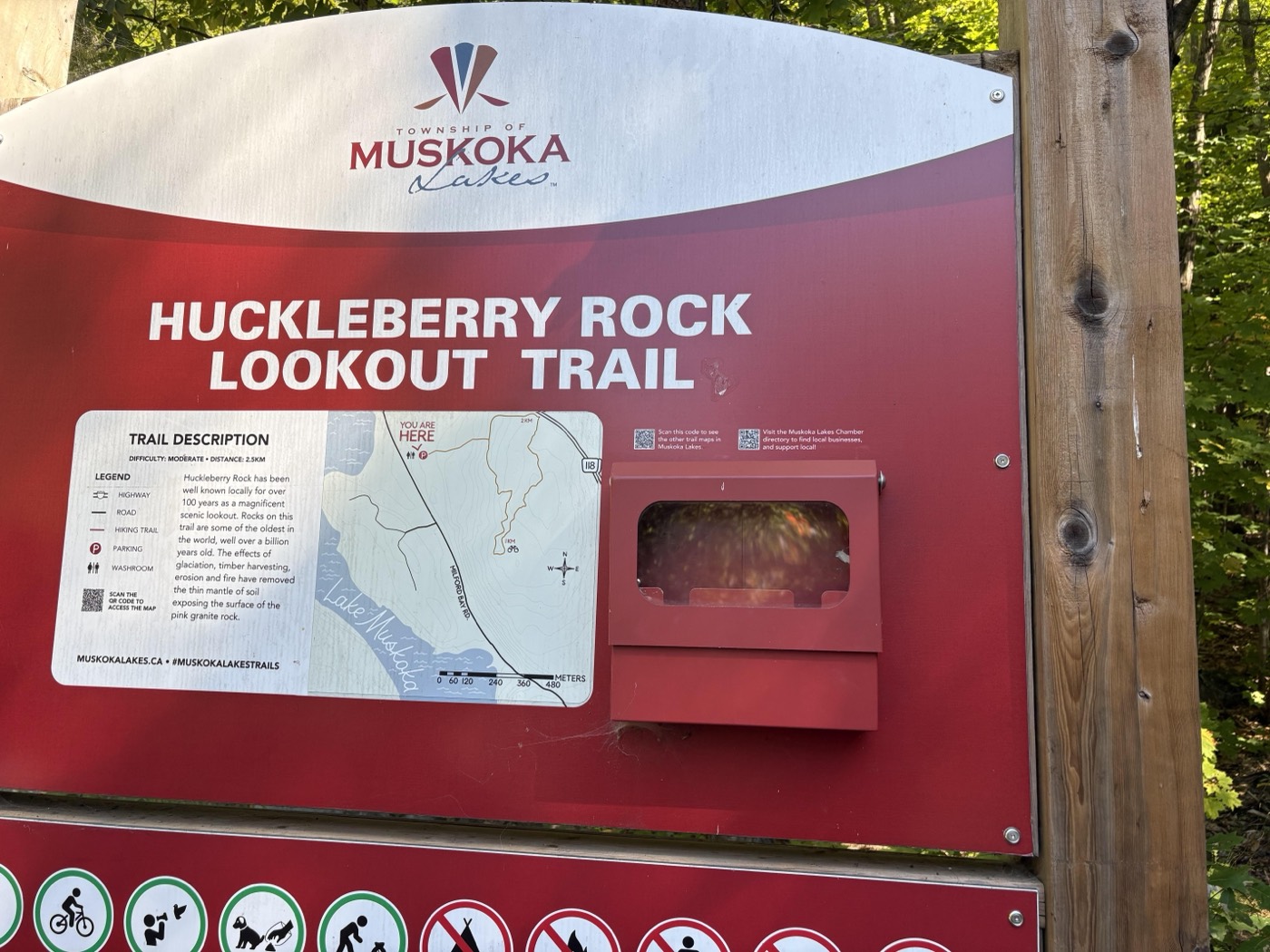
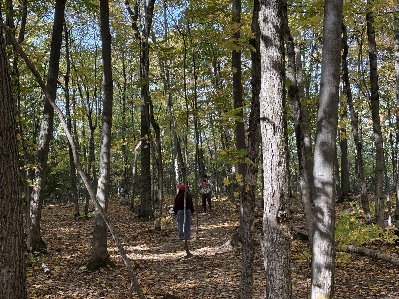
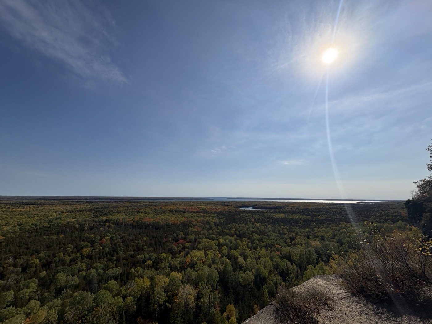
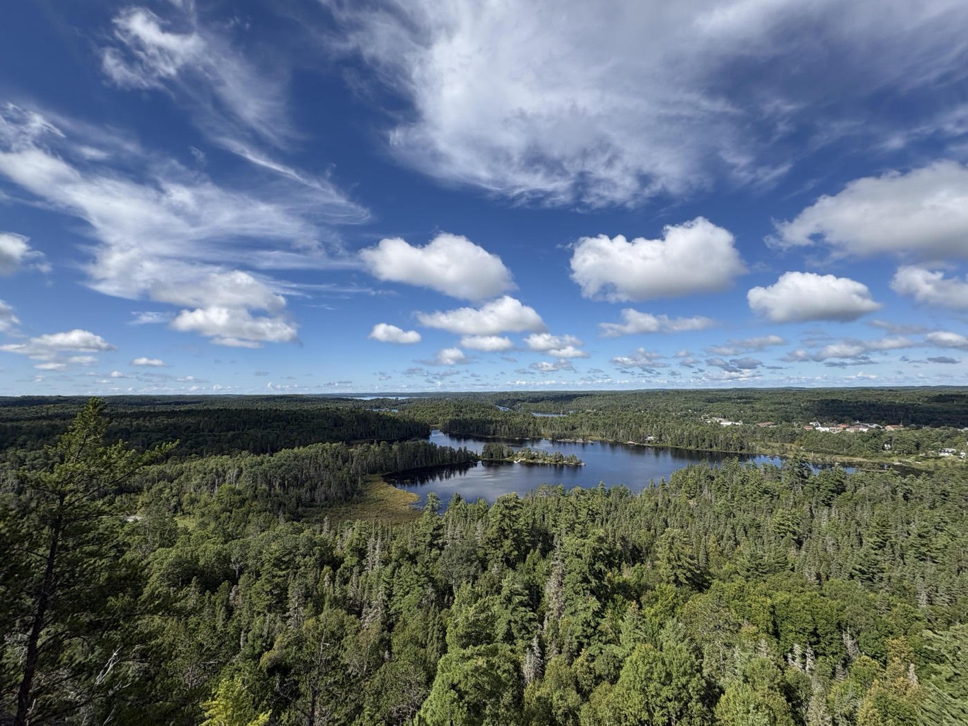
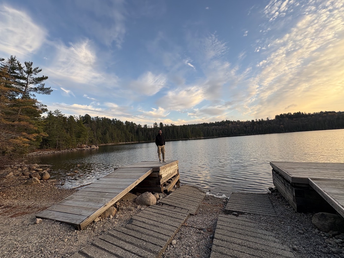
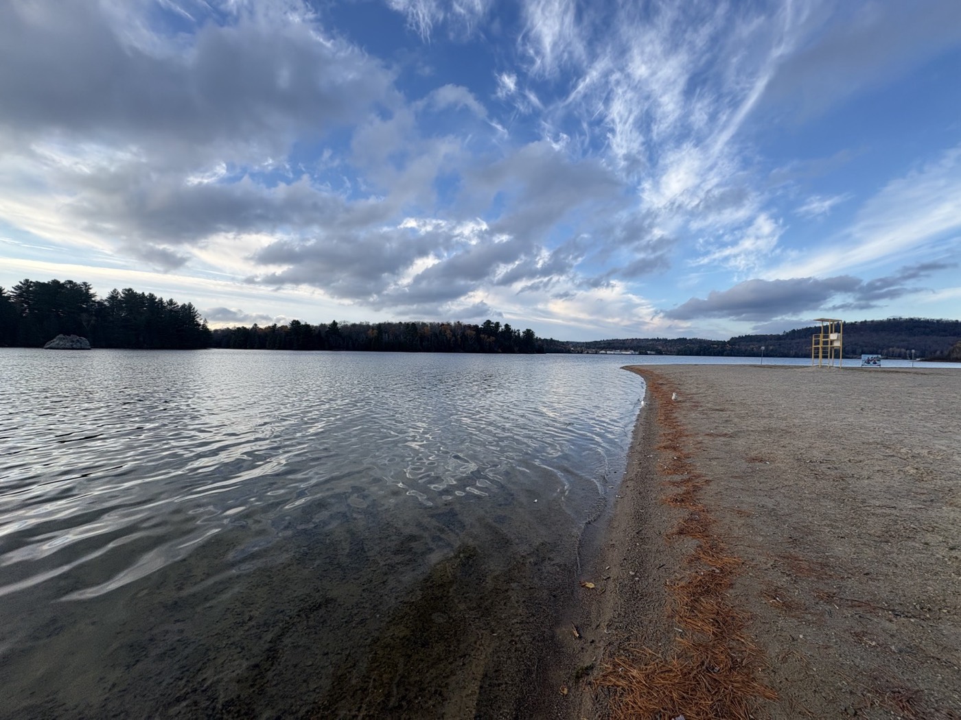
About these photographs. They are from our own weekend outings around Manitoulin, Temiskaming Shores, Muskoka and Elliot Lake. They show the places that prompted the project and the range of ground involved. They are not assessed accessible routes, and they are not photographs of a tourism service we currently run.
What we still have to work out
Being straight about this matters more than sounding ready.
- Which first group of visitors to design around, decided with them rather than for them
- Choosing a route and getting it properly assessed
- Guide preparation, permissions, insurance and emergency planning
- Where our accommodation limits honestly sit on a given route
- Whether the demand and the pricing let it continue past the pilot
We are exploring support from local providers, including Wheel It Transportation for accessible rides in the Greater Sudbury and Espanola area, and talking to accessibility organizations for advice. None of these arrangements is confirmed yet, and accessible transport to a trailhead does not by itself make the trail accessible.
What would help most
- Lived experience, paid for. People who would use this, telling us what the pilot has to get right.
- Mentorship. Turning access feedback into a service plan, and help with route assessment, guiding, insurance and pricing.
- Local connections. Accessibility advisers and tourism operators already working in Northern Ontario.